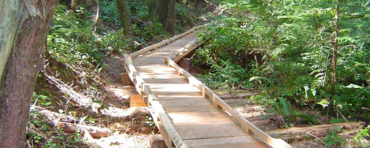
To access Whyte Lake Park, start at Whyte Lake Trail, from Westport Road just south of the Upper Levels Highway at Nelson Canyon. There is also a trailhead closer to Horseshoe Bay at Exit #1. The trail follows the Trans Canada Trail route, diverges westward through old growth trees, follows Whyte Creek and ends at Whyte Lake. The trail features a wooden dock and 300 m of boardwalk.
- Difficulty level: Moderate
- Distance: 6 km round trip
- Elevation gain: 238 metres
- Estimated completion time: 2 hours
Parking
Public parking at the trailhead is limited and fills up quickly in good weather. Please have an alternate plan.
Pay parking is in effect year-round for Whyte Lake/Nelson Canyon Park. Vehicles with Veteran or Memorial Cross license plates and vehicles with a valid accessible parking placard are exempt. Residents of the District of West Vancouver may apply for an annual parking pass at no cost to the resident.
Pay parking at Whyte Lake only applies to the Westport Road parking lot at this time.
Learn more about pay parking in parks
Map
Here’s a map of the Whyte Lake Trail, including the two trailheads.